![[v19.0] Bundle of Mapbox Addons](/web/image/product.product/25/image_1024/%5Bv19.0%5D%20Bundle%20of%20Mapbox%20Addons?unique=7ba5c9e)


![[v19.0] Bundle of Mapbox Addons](/web/image/product.product/25/image_128/%5Bv19.0%5D%20Bundle%20of%20Mapbox%20Addons?unique=7ba5c9e)

Product Overview
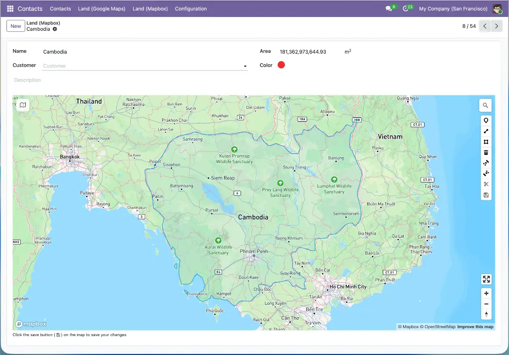
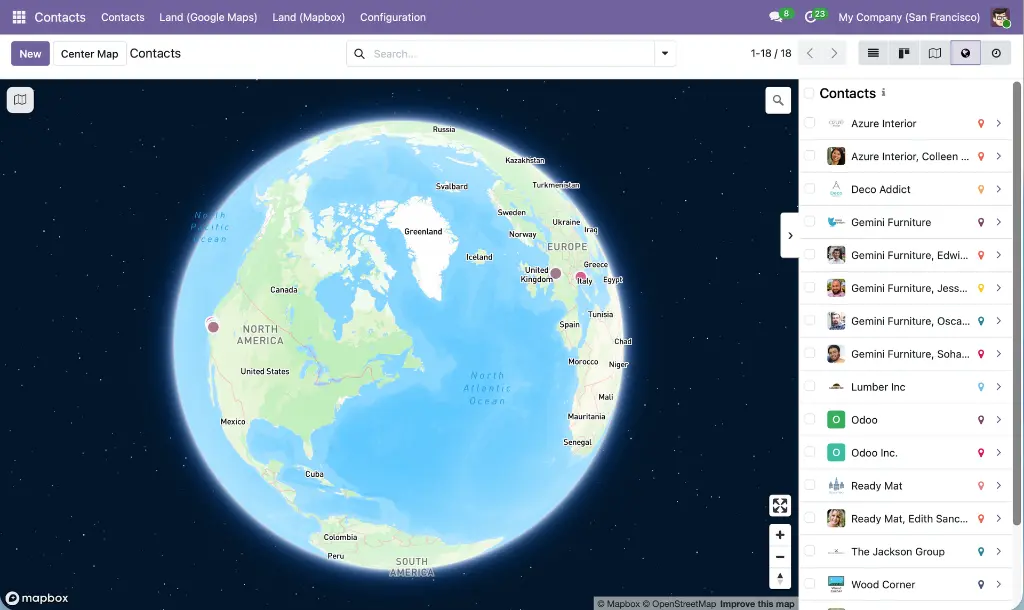
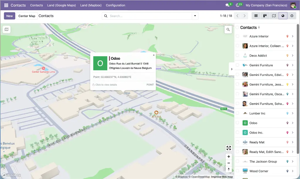
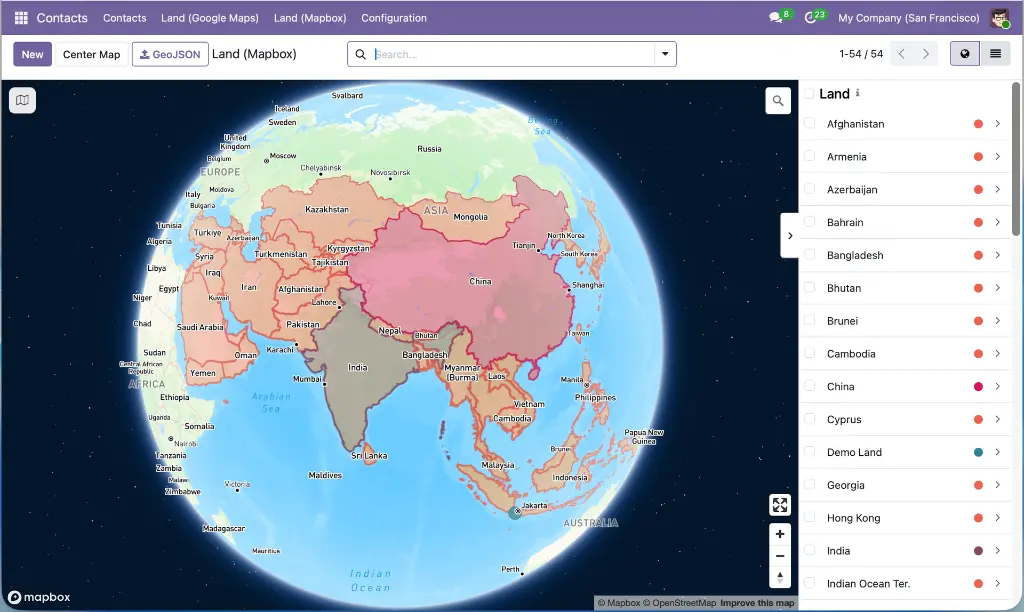
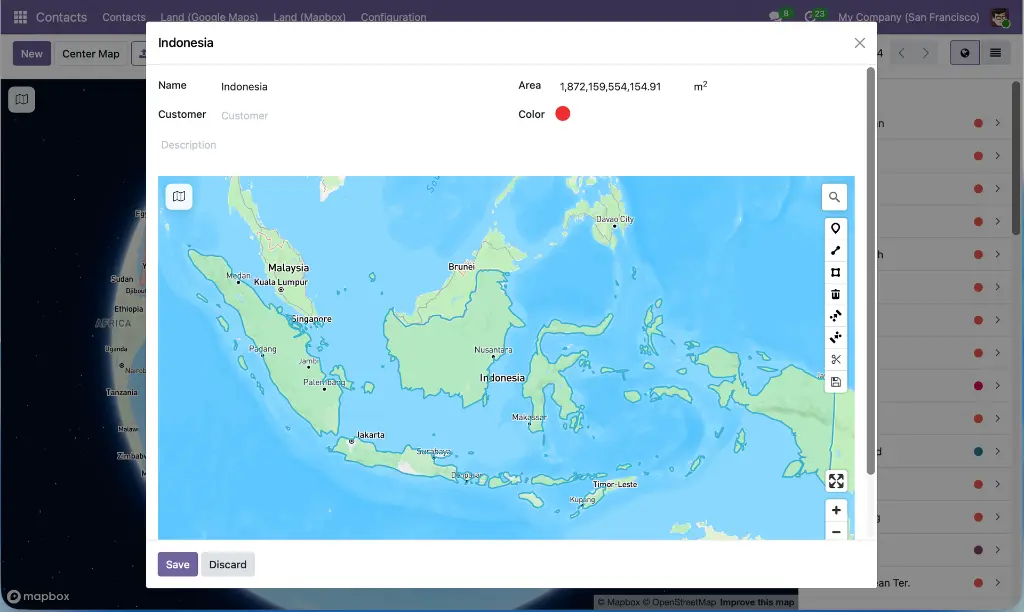
The Mapbox Addons Suite is a complete Mapbox GL JS integration for Odoo 19.0 — a layered family of 14 modules that brings interactive Mapbox maps, geocoding, geometry drawing, multi-stop route planning, delivery dispatch, driver portals, and contact geography into a single coherent product.
The suite is organized as three independently-useful tiers: a foundation layer that centralizes Mapbox configuration and provides reusable map view types and drawing widgets; an application layer of turnkey business applications built on that foundation; and three customer-facing portal modules that close the loop from planning to the field. Install the whole suite for the full end-to-end experience, or pick only the modules you need — dependencies are resolved automatically.